Rawtenstall includes a number of areas, streets, roads, buildings, landmarks and natural features that together form the town.
Rawtenstall Geography
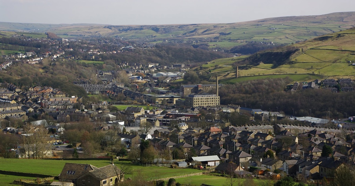
Rawtenstall lies in the Rossendale valley, with the town developing around the River Irwell and the surrounding hills.
Rawtenstall Geography →
Rawtenstall Areas
Rawtenstall is made up of a number of neighbourhoods and local areas, shaped by the valley, roads and the town’s development over time.

Rawtenstall Streets & Roads
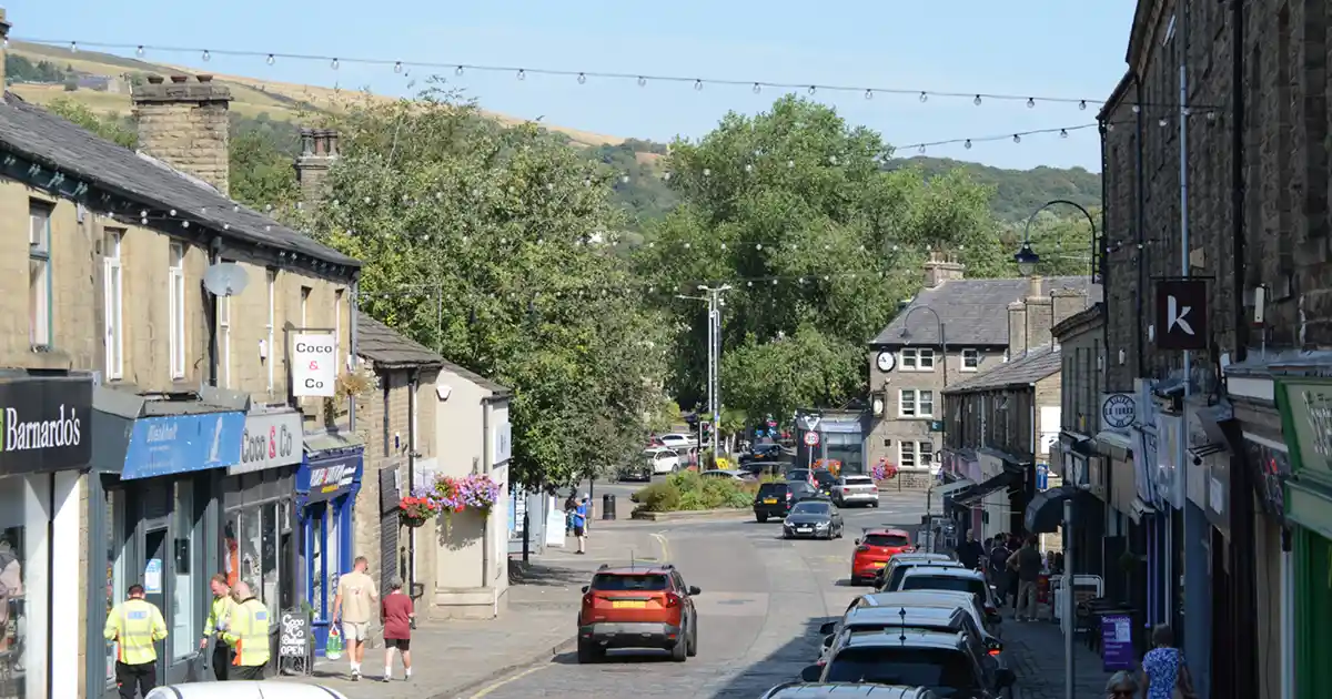
Rawtenstall’s streets and roads connect the town centre with its residential areas, surrounding settlements and routes through the Rossendale valley area. Bank Street is one of the principal streets in Rawtenstall town centre.

Rawtenstall Waterways
The River Irwell flows through Rawtenstall, joined by smaller streams and waterways descending from the surrounding hills.

Photograph: Amanda Jones
Rawtenstall Buildings
Rawtenstall’s buildings reflect the town’s development, with industrial, civic, commercial, religious and residential buildings from different periods.

Rawtenstall Landmarks
Rawtenstall has a number of recognisable landmarks associated with the town’s landscape, industrial heritage and public spaces.

Rawtenstall Parks & Open Spaces
Rawtenstall includes parks, recreation grounds and other open spaces within the town and along the surrounding valley sides.

Rawtenstall Boundaries
Rawtenstall’s boundaries define the extent of the town and its relationship with the surrounding places and landscape of Rossendale.